|
|

|


|
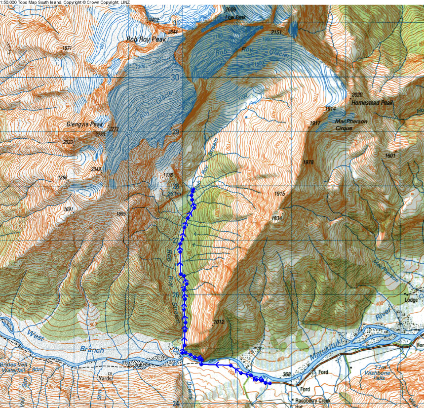
| The Rob Roy Track is a 5km walk up through mostly dense beech forest, to a view of the Rob Roy Glacier. Net change in elevation is about 0.5km. | |
|
|
|
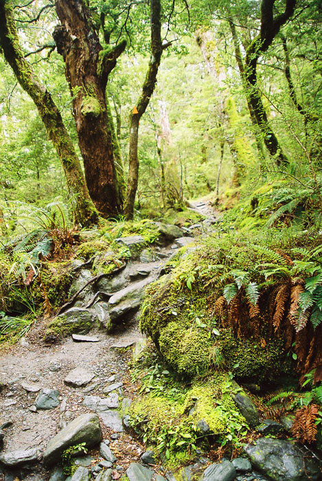
| About 80 percent of the track was like this. It was raining that day, but the thick canopy limited the amount of precipitation that actually made it to the ground. | |
|
|
|
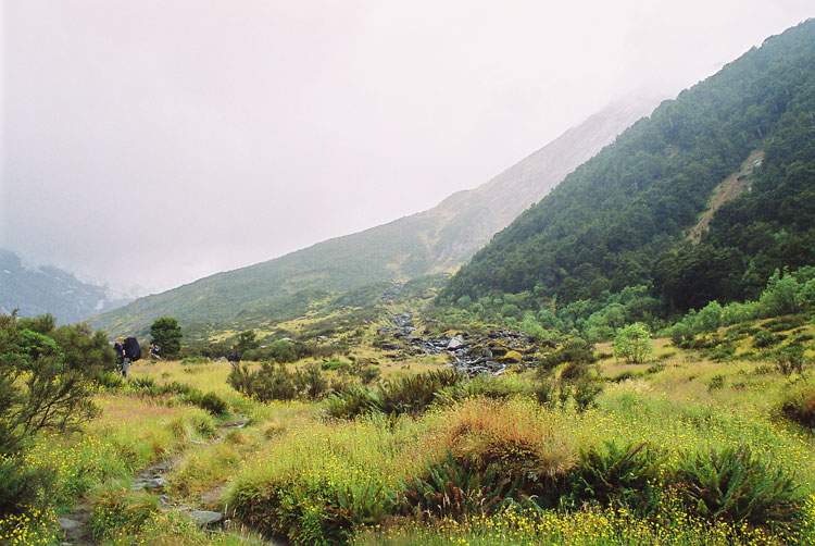
| Once through the rainforest, the track opens up on scrubby alpine brush. The transition is similar to the tree-line break on the Ben Lomond track, but this area seems to get a lot more rain. | |
|
|
|
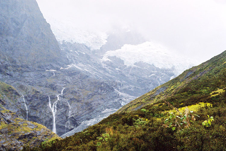
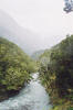
| The glacier was mostly obscured by clouds. | |
|
|
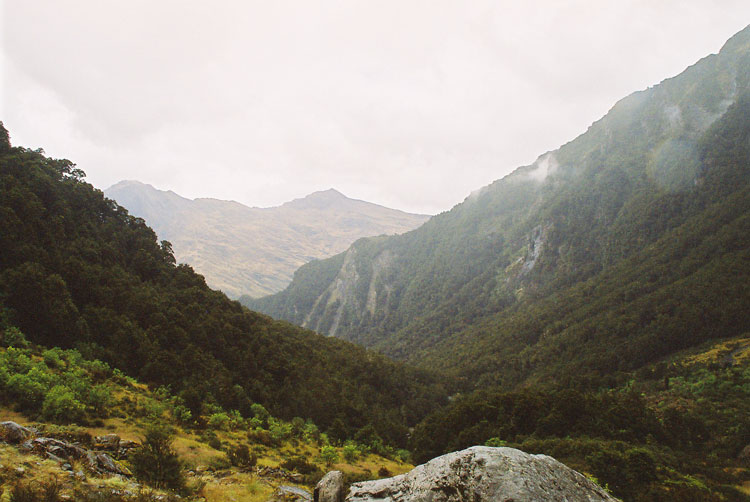
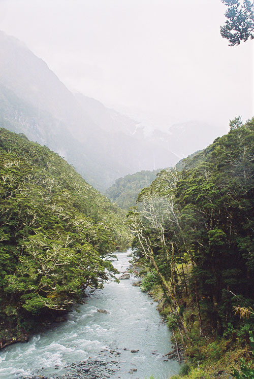
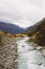
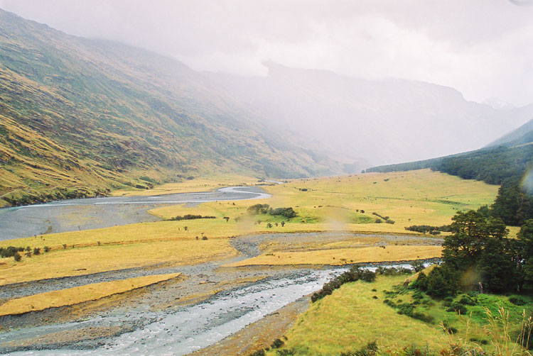
| The valley leading up to the vantage point. The track is through the dense trees on the left. | |
|
|
|
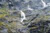
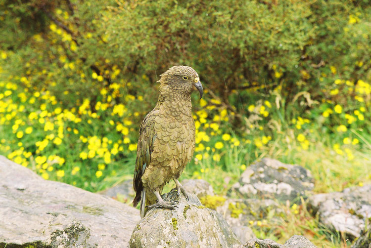
| A kea came up for a visit. Apparently they are quite tame. There was a prominent sign at the opening of the glade admonishing against feeding the birds. The sign was in English, German, and Japanese. | |
|
|
|
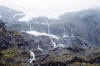
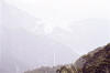
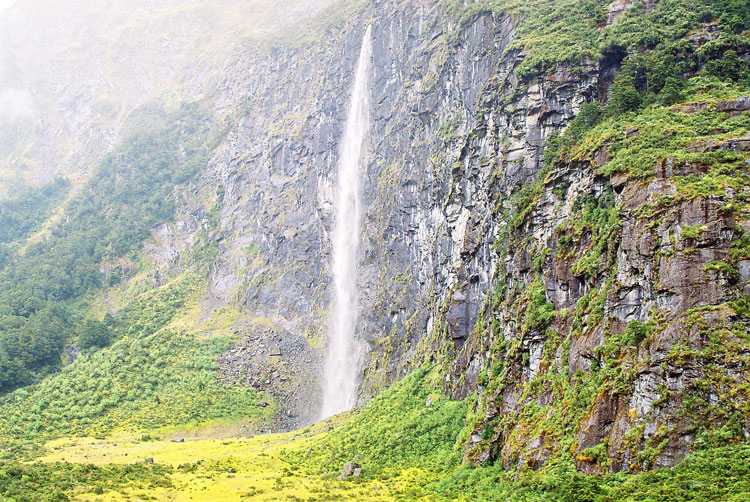
| This view was from a small spur off the track. It was one of those knock-your-socks-off views, more impressive than the view from the clearing. Perhaps it was because the glacier was framed by the foliage and the river. But as since it was raining a bit heavily at the time, the images are a bit murky. | |
|
|
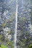
| Nice waterfall on the other side of the Rob Roy Stream. | |
|
|
| Matukituki River Valley | |
|
|
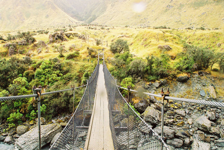
| Swing Bridge to cross the river. No bouncing! | |
|
|
|