


|


|


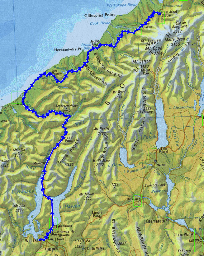
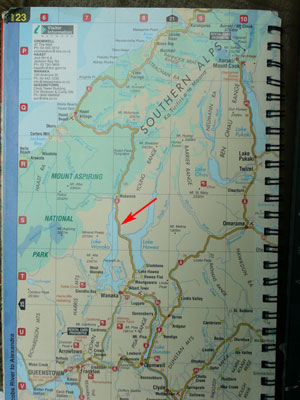
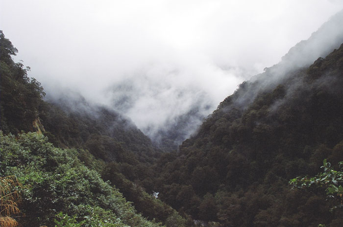
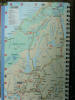
my experience with most maps of a similar scale is that the map shows the primary road through a district. The map will show the main road, but there are always some smaller roads that are not large enough to merit inclusion on the map. In this case, this road is the only road through the area. There are no other roads through this part of the South Island. Other than the road, there is no other indication of any development or construction or any modification by humans. The filling station at Haast does a healthy business, as there are no petrol stations in the distance between Haast and Fox Glacier.


|
|
