
|
|


|


|

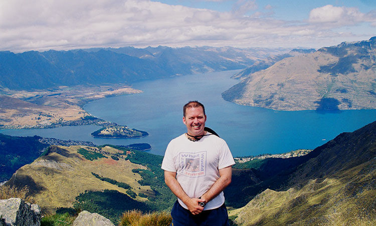
South-West arm of Lake Wakatipu


|

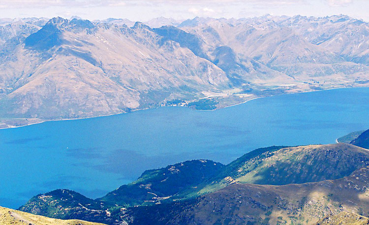
North by northeast


|

North by northwest


|
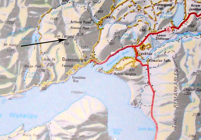
| The Ben Lomond track originates in Queenstown, at the top of a Gondola ride partway up the hill. It's a walk to the summit of Ben Lomond peak. Linear distance is about 6.5km, net ascent is about 1.5km. | |
|
|
|
|
|
|
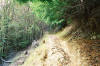
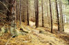
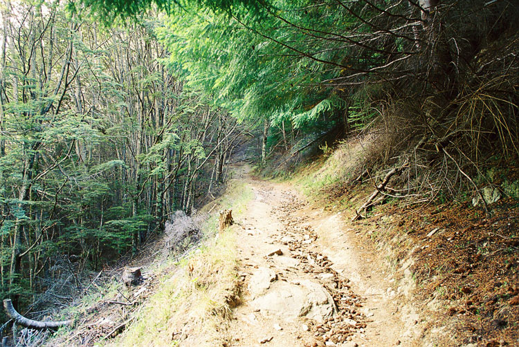
| The first part of the walk is through some pretty dense beech forest. | |
|
|
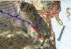
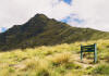
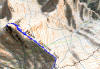
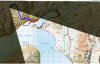
| Once clear of the treeline, one is rewarded with a view of the Ben Lomond peak. The last third of the walk is straight up the face. Vantage point of this photo is at the bottom of the map. The black dashed line on the map is the walk towards Arthur's Point, indicated in the sign. | |
|
|
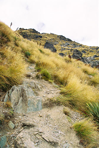
| The track then proceeds through the Ben Lomond Saddle, after which the distinction between the track and neighboring bush becomes less apparent. I guess most people stop at the saddle, and don't continue up to the summit. | |
|
|
|
| Finally at the summit! That's Lake Wakatipu in the background. | |
|
|
South-West arm of Lake Wakatipu
|
|
North by northeast
|
|
North by northwest
|
|
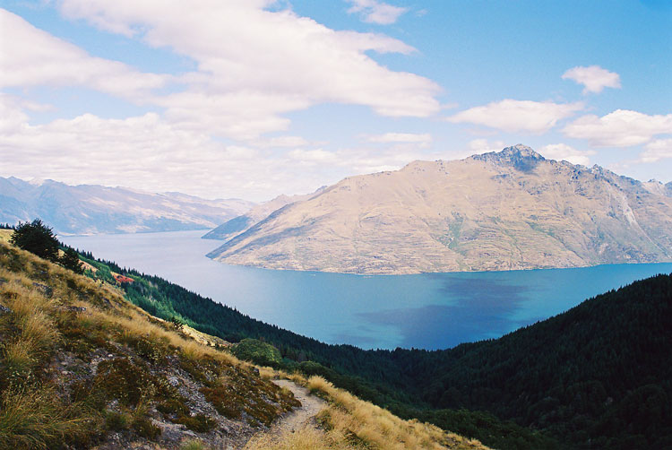
| The shadows of the clouds made for interesting changes in the colour of the lake. | |
|
|
|
| A few images from the walk down. | |
|
|
| 060213 | |
| 060604 |