| Mount Eden Domain | ||
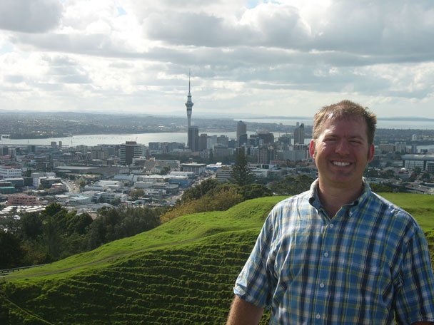
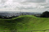
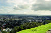
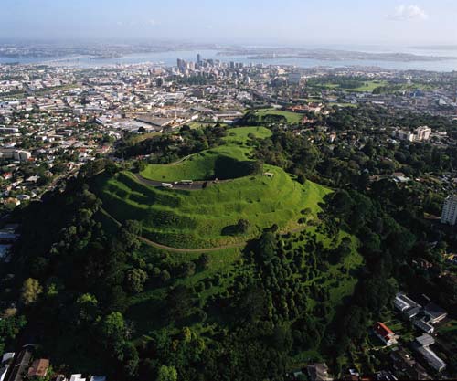
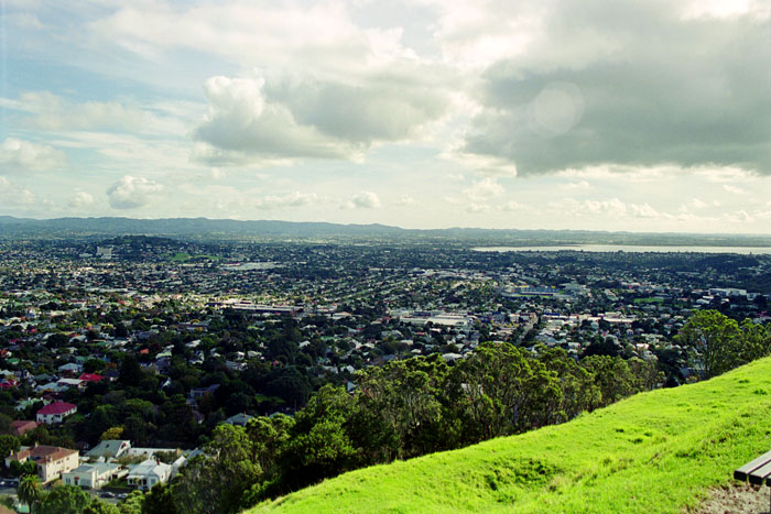
| Mount Eden is the highest point in Auckland, and provides magnificent 360 degree views of the city. | ||
|
|
||
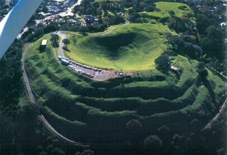
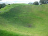
| The crater of Mt Eden seen here was called Te Ipu-a-Mataaho (the bowl of Mataaho) because this is where Mataaho lived. It is also said that the other volcanic cones of Auckland were formed when Mataaho’s wife left him and took his clothes, so the goddess Mahuika sent fires to warm him. | ||
|
|
||
| Many separate lava flows
contributed to the formation of Mt Eden, a large, prominent, scoria cone
which is really three overlapping cones, the southern most cone (present day
Mt Eden) is the highest and measures 196 meters above sea level and has a
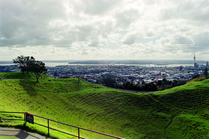
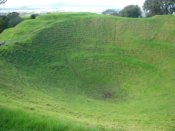
wide conical crater that is about 50 metres deep. Even after the heaviest rains, water does not accumulate on the rocky surfaces, but finds its way through the cracked rock, into the old stream channels underneath the solidified lava, and flows along them to reach the surface again at Western Springs. |
||
From the Auckland Sky Tower
|
|
|
|
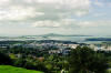
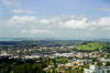
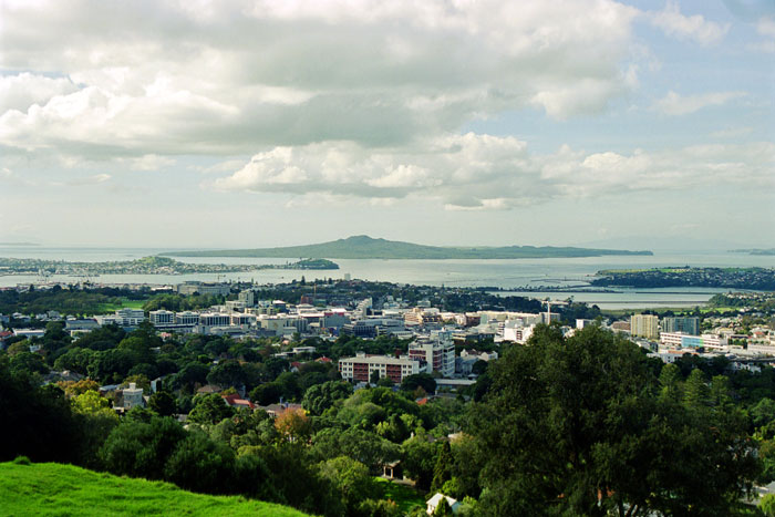
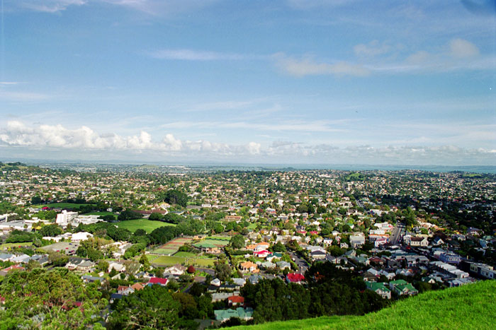
| Overlooking the crater towards centre city and Waitemata Harbour. Auckland Harbour bridge and Birkenhead visible in distance. | |
|
|
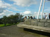
| The Crater. | |
|
|
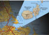
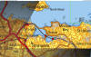
Rangitoto Island |
|||
|
|||
|
More on Rangitoto: |
|||
|
|
|||
|
|
|||
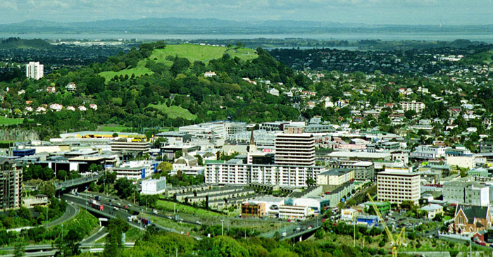
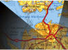
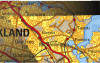
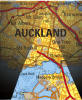
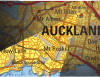
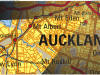
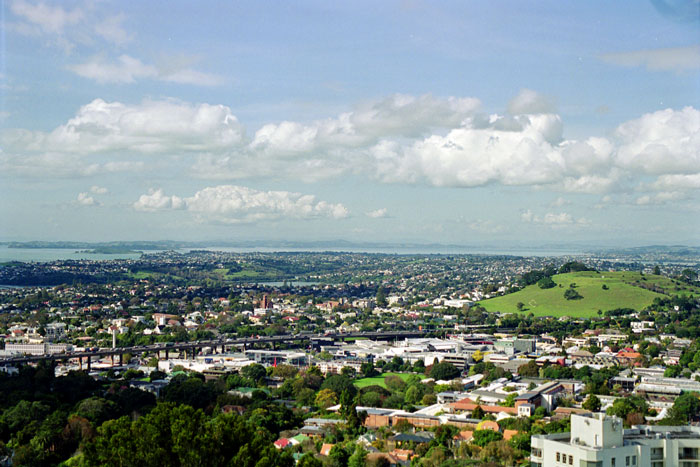
| The grassy hill on the right is Mount Hobson, the triangle at the 'R' in Remuera in the map is the trig station atop Mount Hobson. | |||
|
|||
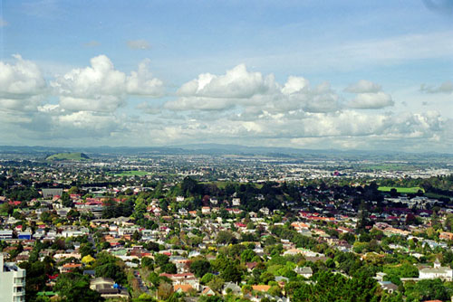
| Looking ESE | |||
|
|||
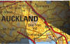
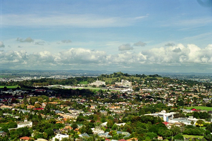
| Towards One Tree Hill | |||
|
|||
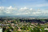
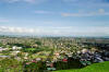
| Looking Southerly | |||
|
|||
| looking WSW | |||

|
|||
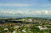
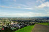
| Westerly | |||
|
|||
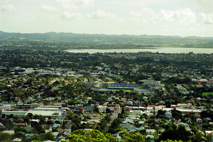
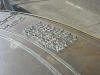
| westerly. A zoom in on Eden Park, in the centre; the locale of the Blues Match I saw. | |||
|
|
|||
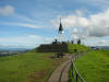
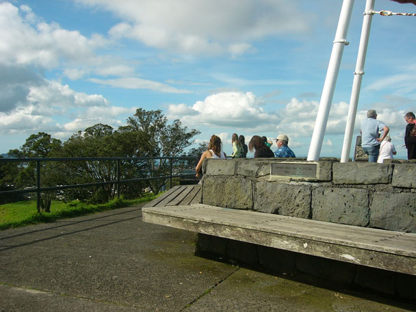
| The Mount Eden Trig Station | |||

|
|||
| Looking towards New York | |||
|
|||
|
|
|||